BJ3A
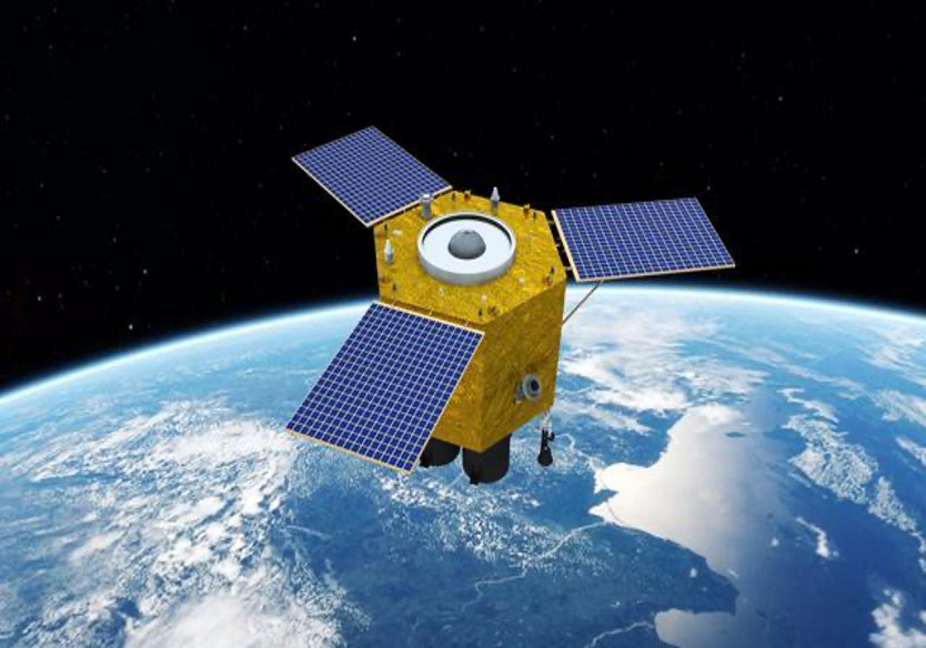
Launched on 11 June 2021, the BJ3A is an AI-enabled agile remote sensing optical satellite of 21AT, it could pick its flight path on its own, monitoring up to 500 points of interest across the world with roughly 100 trips every day. It can provide high-resolution remote sensing data and information products for the global market.
| BJ3A | Specifications |
|---|---|
| Orbit | SSO (Sun-synchronous Orbit) Altitude 500km LTAN 11:00 local time Inclination: 97.0° Altitude: 500 km |
| Launch Date | June 11, 2021 |
| Spectrum bands(in nm) | Panchromatic – 450 to 700Blue – 450 to 520Green – 520 to 590Red – 630 to 690NIR – 770 to 890 |
| Resolution GSD | 0.5m panchromatic2m multispectral at nadir |
| Precision | Better than 1:10000 map scale |
| Dynamic range | 12 bits |
| Swath width | 23.5 km (at nadir) |
| Revisit | 4 day (at 40°N) |
| Key Features |
|---|
| High capacity in various collection mode2 million km2 collection capacity per dayMulti direction targetingStereo accuracy RMSE less than 7.5m without GCP |
 |

BJ3A 2021-07-05_ Port of Zea in Athens, Greece

