Queensland, Australia
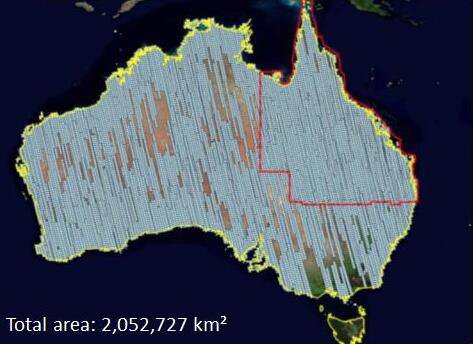
21AT Asia’s collaboration with Earth-I produced a basemap for Queensland (2,052,727km2) for the years 2016 and 2017. Funded by the Queensland’s Department of Natural Resources and Mines (DNRM), its web portal facilitates its own use of the basemap for the other local government departments. Our satellite’s capabilities allow us to provide high resolution data (VHR) and short temporal intervals to produce comprehensive basemap data for this project collaboration.

