DEM Products
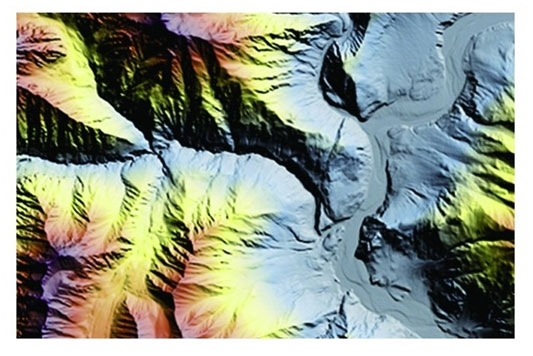
A digital elevation model (DEM) is a 3D computer graphics representation of elevation data to represent terrain of the Earth. DEMs are used often in geographic information systems, and are the most common basis for digital maps. While a digital surface model (DSM) may be useful for landscape modeling, city modeling and visualization applications; a digital terrain model (DTM) is often required for flood or drainage modeling, land-use studies, geological applications, maritime transportation and other applications.
DIGITAL TERRAIN MODEL
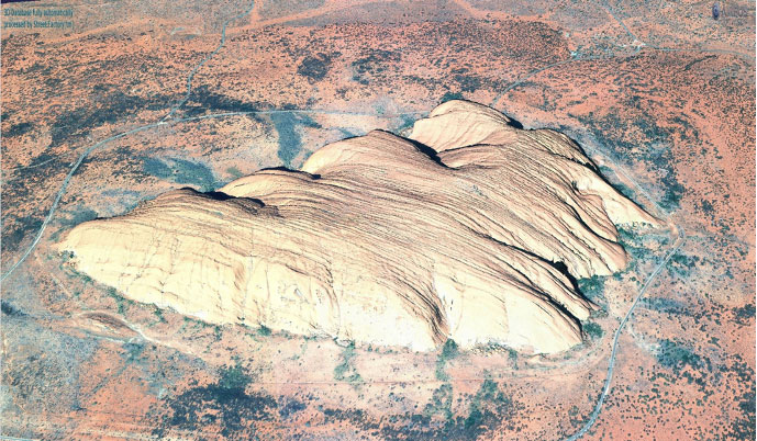
A DTM represents the earth’s surface without objects like vegetation and buildings.
Key features:
High accurate engineering-grade bare Earth elevation data Automatic mass point generation and 3D breaklines Hydro enforcement and road flattening Accurate contours derived from the DTMs High volume scalability using GRID processing computing
DIGITAL SURFACE MODEL
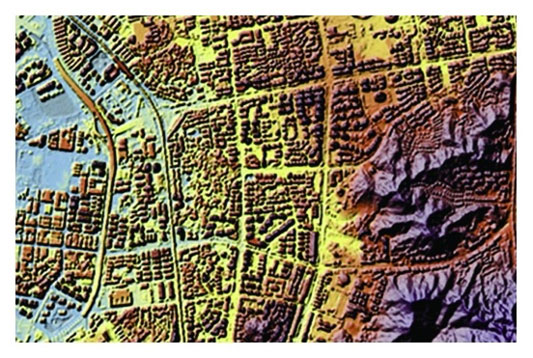
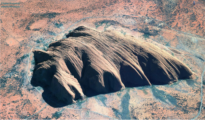
A DSM represents the Earth’s surface and it includes vegetation and man-made objects.
Key features:
High-resolution DSM at one post per pixel High-fidelity DSM with sharp edges Smooth building and ground surfaces Hydro enforcement and road flattening High volume scalability using GRID processing computing
Our dedication elevates your insights into details
21AT Asia is an established leader in the creation of high-quality custom elevation product. Our expertise includes decades of advanced image processing algorithm development, as well as image analyses and application experiences.
It has the ability to use a variety of satellite data sources automatically process and produce high-quality, high-resolution and high-accuracy DEMs over large areas. The DEM process includes quality control and production of both DSMs and bare-earth DTMs. 21AT Asia has the proprietary tools and processing ability to register, mosaic and merge seamless products. These products enable enhanced feature identification and exploitation, and provide a well-established foundation for 3D modeling of areas of interest.
We have the capability and expertise to create custom elevation data applications in industries such as visual simulation, mapping, engineering and urban planning. We are also partnered with public and private vendors who are creating new datasets worldwide.
| Product Specification | |
|---|---|
| Grid Spacing | 50cm to 1m |
| Bit Structure | 32 bit floating, 16 and 32 bit integer |
| Formats | GeoTIFF, DTED, HRTe and others |
| Projection | WGS-84, NAD83, NAD27 and others |
| Vertical Datum | Ellipsoid,WGS84, EGM96, NAVD88 and NGVD29 |
| Accuracy (xy, z) | based on the geographic location and accuracy of ground control points |
| Input Sensors | Satellite, aerial, LiDAR, and others |
| Minimum Order Size | 1000 km2 |
| Delivery method | FTP Download |

